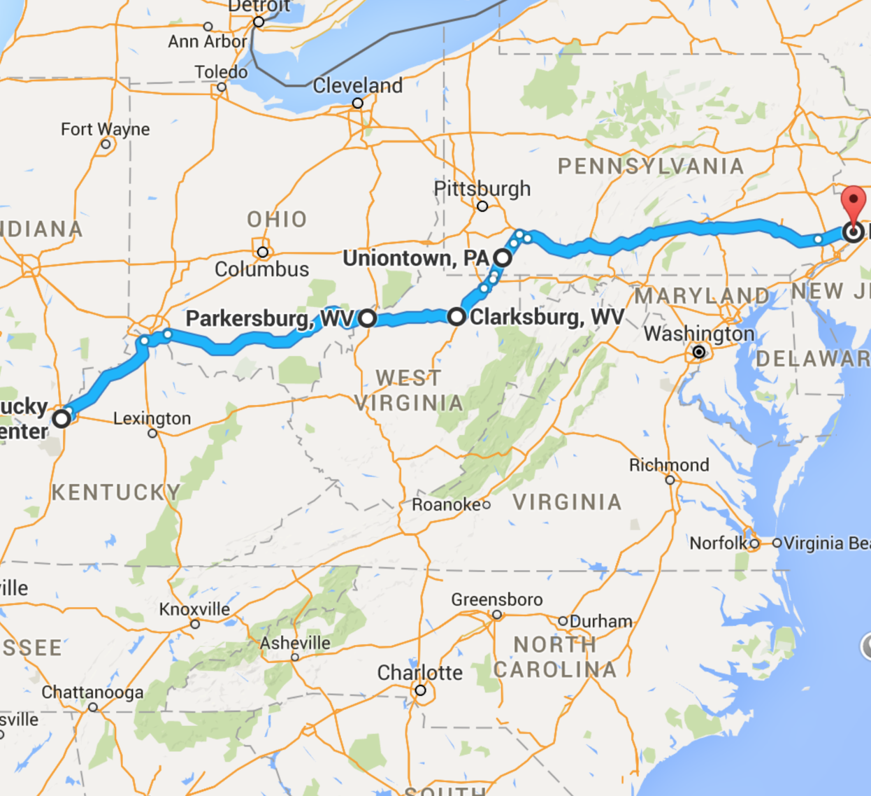
Got back home sooner than expected, despite taking a more scenic route through West Virginia, avoiding Maryland. We discovered if you do a custom route on Google Maps, it’s fine unless it has to recalculate, in which case it defaults to the shortest route. Ordinarily, that would be fine except that the shortest route could get me thrown in a Maryland State Prison. Google has a multi-destination feature on the web version, but the mobile and tablet versions don’t. They allow you to avoid “Highways,” “Tolls,” and “Ferries,” but they don’t have an option for “Anti-Gun States.” Maybe I should make a feature request.
Back from NRAAM 2016 Louisville


One way to avoid this is to put in some “way points or what ever they are called on your system. I don’t use Google. One car has a Tom Tom I have used this system to avoid the DC Belt Way,
Seems you can set up waypoints on Google Web. The iOS version of Google Maps completely ignores them. The Android version keeps them, it seems.
The way to suggest that feature is to couch it in the language of social justice: say that you want to be able to pick states to avoid on a trip, using NC as an example because that seems to be in style at this point.
It’s only relatively recently that the Android version supported waypoints. And it’s still a bit flaky.
Waze has them, but it can’t handle a route longer than around 150 miles (which is odd).
Better include localities in your request. Not every state has preemption or enforces it against cities.
I prefer the old fashion way with actual maps it easier to look at while driving. Trip tickets from AAA are easier also.
You’re an IT guy, can you, or do you know someone who can, write an app?
A firearms friendly trip planner would be awesome for us who carry!
If you can make a good one and get the NRA to endorse/advertise it you could make some serious money off of it…..