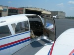
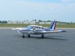
Getting more serious about the idea of getting an actual pilot’s license. So I’ve been reading. I have a new respect for pilots. It’s a daunting amount of information to remember. For instance, METAR reports. What is a METAR report? Stands for Metrological Aerodrome Report. What does a METAR look like? Well, like this:
KPHL 201354Z 36005KT 10SM CLR 29/16 A2994 RMK AO2 SLP138 T02890156
In that is pretty much everything you need to know about the weather in Philly to fly out of there. Winds are due north at 5 knots, visibility is 10 statute miles (specified because aircraft use nautical miles by default), clear skies, 29C (84F) degrees, dew point at 16C (60F). Pressure 29.94″ Hg. The complexity is not merely to confuse pilots. It’s to save radio bandwidth and make the report easy to parse. Another sort of code is flight plans. For this example, we’ll use my friend Jason, who is on his way to Hilton Head currently in his dad’s Twin Comanche. For a flight that long, you would typically want to file and follow a flight plan with the FAA. The route is described thusly:
MXE V29 ENO V16 PXT V16 RIC V157 LVL
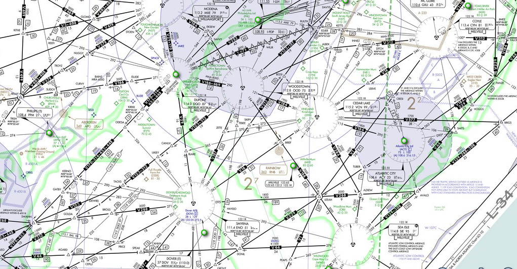
Believe it or not, all of that translates into this, some of which are radio beacons, and others of which are just imaginary points in the sky. Given this string, air traffic control knows how you plan to fly, because these numbers are essentially codes for predefined routes. MXE (Modena, PA), for instance, is a VORTAC where you will pick up the V29 path to the ENO (Smyrna, DE) VORTAC, which passes through the DQO (Dupont) VORTAC on the way. If you want to see what that looks like on the chart, here’s a low enroute map of that area:
Much to learn. But it’s my goal to achieve competence first, before going through the formal process. That way I will learn quickly, and spend less money (hopefully) getting the actual license.

